BSc Thesis ‘Urban Framework’
The project ‘Urban Framework’ started as a bachelor project at the Institute for Sustainable Urbanism, Technical University Braunschweig (GER), and was supervised by Prof. Vanessa M. Carlow. The thesis was submitted in September 2015.
Download methodology presentation.
Lilongwe, the capital of Malawi, faces the same problems as many other cities on the African continent. Fast urbanisation rates and population growth lead to several challenges in the cities, e.g. informal settlements, lack of basic services, planning devices not able to cope with the new situation, etc. It is expected than until 2050 more than 1 billion people will live in Afri- ca, with more than 50 % situated in urban structures.
The bachelor thesis explores ways of dealing with the upcoming and already existing challenges. The process started with a detailed analysis of former master plans, recent research papers/publications and reference projects, which lead to the conclusion that a master plan cannot work. The circumstances are changing too fast and need a flexible and adaptive system, which works even if the development changes enormously from the expectations.
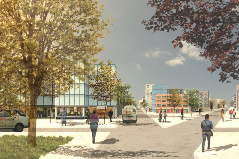
The proposed approach is the tool ‘URBAN FRAMEWORK’, which can be programmed by urban planners and provides several development opportunities, easier formalisation tools and a simple way of the ongoing digitalisation of the existing situation for the responsible city planners of the government.
In the project, the process is exemplarily tested with the software grasshopper in combination with rhinoceros. With the help of this programme, it is possible to define specific or ranges of values such as the number of storeys, the percentage of public space, grid sizes etc. The seen result is based on eight districts with one centre each, which are defined by existing water and green structures in the periphery of the actual city. Based on UN-Habitat expectations (National Urban Profile Malawi, 2012) the plan works for up to 8 million inhabitants in the given boundaries, 6.9 more than in 2015 in the given boundaries. The structure is created by a sample set of 50 typologies and a minimum of 10% free space on the block, neighbourhood and plot scale. The typologies are chosen depending on the district and the distance to the centre.
There are five different scales of subdivisions in the area. Housing between 440,000 and 1,150,000 people the largest are the eight districts, situated around already partly existing centre structures. The next scale is the boroughs of around 40,000 people, which are divided by an organic Voronoi grid fitted along existing streets, rivers and already built areas etc. The last three steps of the block, housing 2,000 people, the neighbourhood and the plot are structured by a square grid, which is orientated for an optimal shading and ventilation according to the local climate conditions.