A methodological approach to measure interrelations between urban form and flood-related risks in Kampala, Uganda
The paper was presented at the 54th ISOCARP World Planning Congress in Bodø (NO).
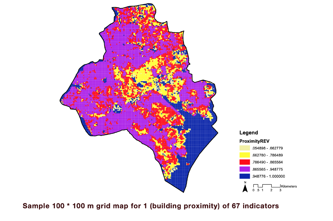
This paper aims to examine the interrelations of spatial characteristics to the often-unjust distribution of climate change risk and vulnerabilities and develop a methodological approach for Kampala to redress this situation. The research intends to increase the understanding of spatial equity and proposes a method to quantify it in environments of limited preceding research and data availability to support better-informed policy and spatial intervention strategies.